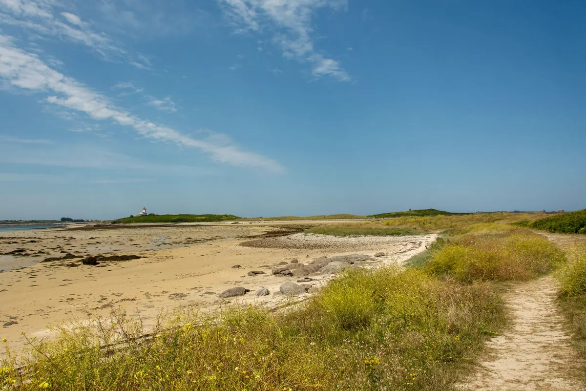
The Suffolk coast doesn't shout. No arcades, no long promenades of neon; instead there's shingle, marsh, heath and a horizon broken by a church tower or a lighthouse. That quietness is why it's such a good place to start walking, and also why first-timers get caught out. With few crowds to follow and few signs, a short stroll can turn into a much longer afternoon if you haven't checked the tide or the state of the path.
None of it is complicated. Ten minutes of preparation the night before removes almost all of the risk from an easy coastal walk.
Start with the tide, not the map
On this coast the tide decides where you can go and when. Water doesn't just sit on the beach; it fills the estuaries behind it, the Deben, the Ore, the Alde, the Blyth, and those creeks cut off paths that were dry an hour earlier.
Two habits are worth building:
- Check a tide table for the point nearest your walk, not for the coast in general. High water at Aldeburgh, Southwold and Lowestoft doesn't arrive at the same time, and an hour's difference matters on a flat beach.
- Treat two hours either side of high water as the window to avoid on sand, mud or marsh. If your route crosses any of them, be back on firm ground well before the water turns.
Walking out across the mudflats at low tide looks tempting and mostly isn't. Estuary mud can be deep and holding, and the flood tide moves across flat ground faster than anyone walks. Never attempt a shortcut across an estuary channel unless it's a recognised crossing with signs, and even then only in sensible conditions.
What the ground actually feels like
Suffolk's coast has more variety underfoot than the map suggests, and each surface asks something different of you.
Shingle
The beaches at Aldeburgh, Dunwich, Sizewell and Covehithe are pebble, not sand. Loose shingle is slow, tiring and unkind to ankles; a mile of it feels like three. Firm sand at the water's edge is easier going, but watch the waves and keep an eye on your exit points. There's often a better surface on the path just behind the beach.
Cliffs and soft edges
The cliffs here are boulder clay, which means they crumble. Between Dunwich and Covehithe especially, the edge retreats, paths get rerouted and the beach below is not a place to stop for lunch. Keep back from the top edge and don't linger at the base.
Marsh, mud and heath
Saltmarsh is slippery and full of hidden channels. Heathland paths are sandy and rooty, and adders do live on the heaths, though you'd be unlucky to meet one. Boardwalks and raised river walls through the marshes are the easy option, and usually the prettiest.
If you want a marked route to follow, the Suffolk Coast Path runs roughly from Felixstowe Ferry to Lowestoft, and the Sandlings Walk takes a parallel line inland. Both are waymarked, but neither is a pavement: sections flood, erode or get diverted, so carry a paper map or an offline map on your phone.
Pick a first route that can't go badly wrong
Short out-and-back walks are the best introduction. You finish where you started, so the tide and the parking are the only things to think about.
- Aldeburgh to Thorpeness. Around three miles each way, along the beach or the path behind it, past the Martello tower. Turn round whenever you like.
- Walberswick and Southwold. Cross the Blyth by the bridge at the harbour, or by the seasonal foot ferry if it's running, and come back along the beach or through the dunes.
- Dunwich to Minsmere. Heath, woodland and beach in one short stretch, with plenty of chances to shorten it.
- Orford quay and the river wall. Flat and quiet, with views across to Orford Ness. The ferry over to the Ness runs only in season, so check before building a day around it.
Ferries, car parks and cafes change with the season. Check the day before rather than assuming.
Kit that earns its place
You don't need much. You do need the right small things.
- Footwear with grip and some ankle support. Trail shoes are fine in dry weather; boots are better in mud and on shingle.
- A windproof layer. The coast wind here is constant and there's no shade on a shingle beach.
- Water and food. It can be a long way between a car park and an open pub.
- A charged phone with an offline map, plus a power bank. Signal is patchy in the marshes.
- Sun cream and a hat in summer; a torch in winter.
- A basic first aid kit, including tick tweezers.
- Cash or a payment app for parking, and a lead if you're walking with a dog.
Wildlife, farmland and other people
Much of this coast is a nature reserve, and the paths cross working land
Photo: Jan van der Wolf / Pexels